Geophysical Techniques: Magnetic Methods
In ferrous materials, the magnetic field of the earth creates a secondary magnetic field. While all materials to some level exhibit this vulnerability, iron and steel materials typically have an effect that is quite easy to measure. Geologic components that contain ferrous minerals, most commonly magnetite, are ideal targets.
Measurements of the magnetic field are frequently used to look for manufactured iron and steel objects like tanks and barrels. The targeted geologic feature or man-made object must be the proper size and orientation to the earth's field for the magnetic geophysical survey approach to be effective in order to discover the aberrant field. Interference in the near-surface can be caused by structures and their foundations, fences, automobiles, buried storage tanks (known or unknown), utilities, and landfill waste. Note that anyone of these items may also be the target.
Applications & Use Cases
We specialize in this Geophysical Techniques that are offering valuable insights & data.
- Locate buried tanks and pipes
- Detect buried unexploded ordnance (UXO)
- Map old waste sites and landfill boundaries
- Mineral exploration & Locating landfills
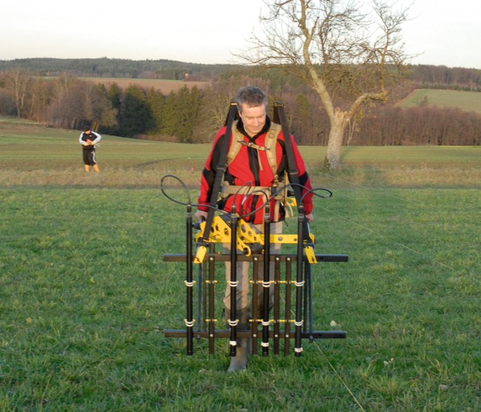
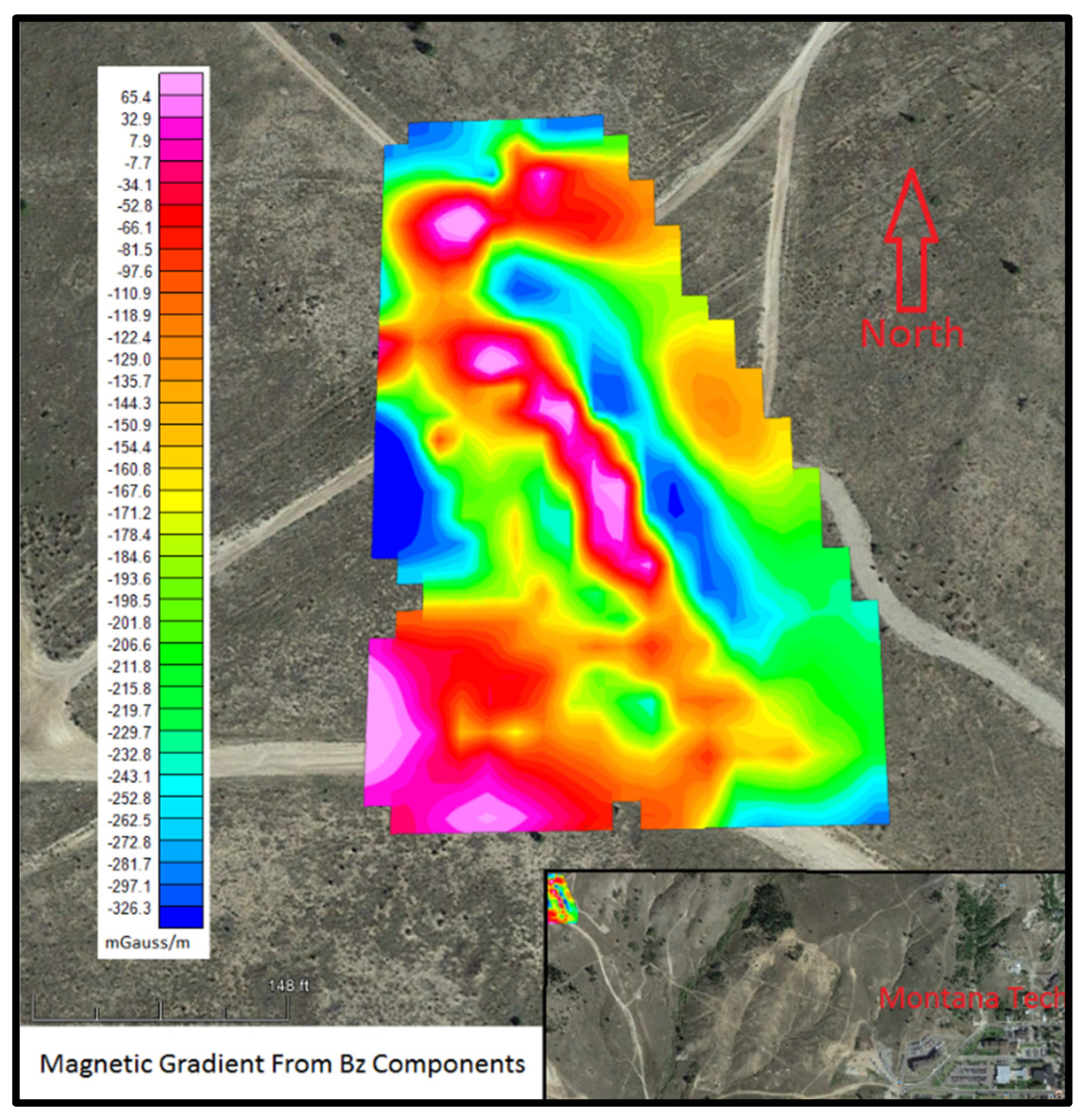
Magnetic Techniques - Magnetic Gradiometry
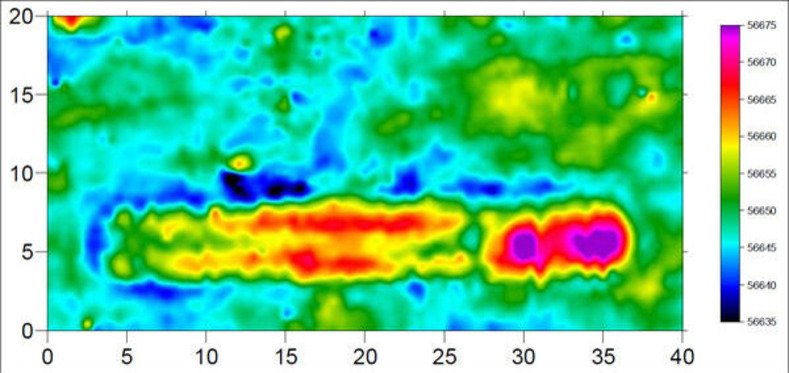
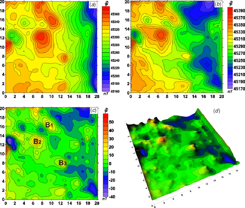
Both the overall magnetic field and its vertical gradient are measured using conventional magnetic equipment. The gradient, which is the quantity recorded by magnetic locators used in land surveying, is particularly helpful for finding things buried at shallow depths. These surveys are frequently used to locate pipes, cables, metallic items, metal drums holding poisonous or contaminated waste, unexploded ordnance, and archaeological artefacts.
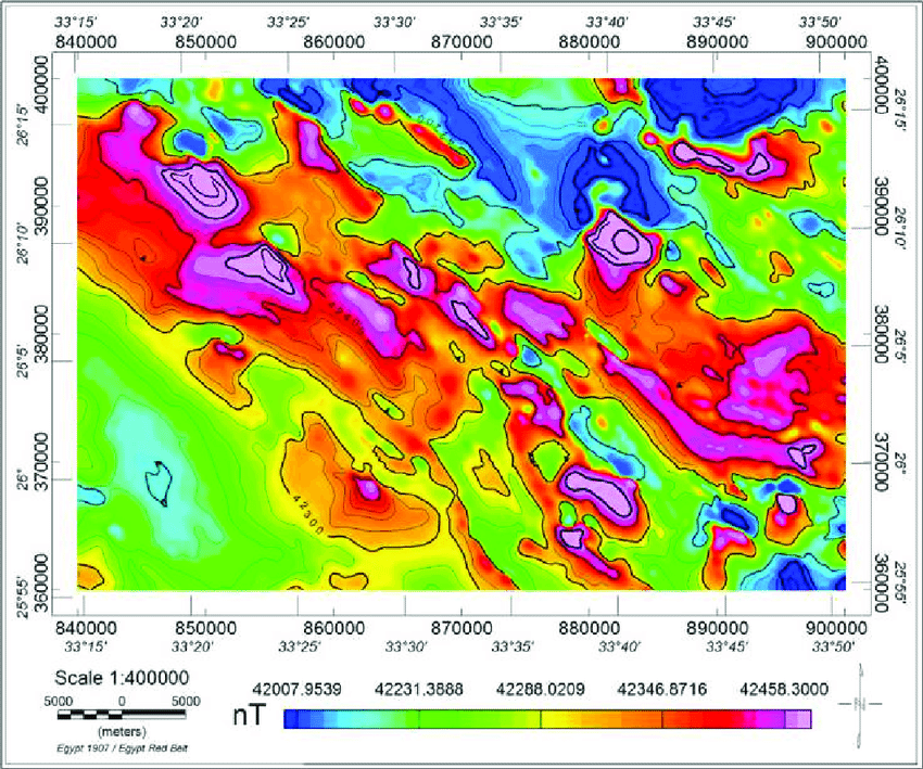
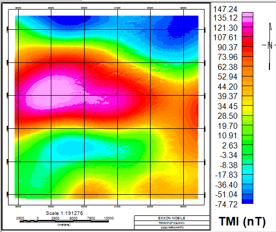
Electromagnetic Techniques - Total Magnetic Field Intensity (TMI)
In this kind of study, the entire earth's magnetic field is measured using just one magnetometer. The geomagnetic field's strength varies from around 65000 nanoTesla (nT) at the magnetic poles to about 25000 nT in the magnetic equator. Ferromagnetic materials or objects cause localised changes to be superimposed on the broader regional field. Mineral exploration, geothermal and hydrocarbon exploration, lithology, structural geology mapping, and the study of igneous dikes all use total magnetic field surveys.