


Archaeological reconnaissance and walkover surveys are essential first steps in understanding the cultural heritage of a landscape. These field-based investigations involve the systematic inspection of an area to identify, record, and evaluate visible archaeological features, monuments, and artifacts on the ground surface. Conducted by experienced archaeologists, walkover surveys bridge the gap between desk-based research and more intensive fieldwork, providing critical on-the-ground evidence that informs heritage impact assessments, planning decisions, and the design of further archaeological investigations.
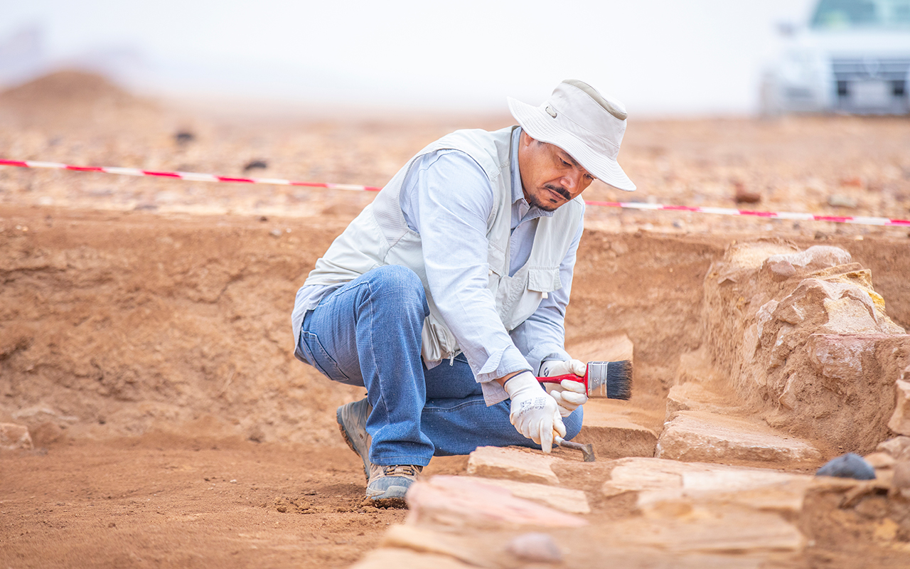
A walkover survey, also known as a field survey or surface survey, is a non-invasive archaeological investigation that involves the physical inspection of a study area by qualified archaeologists on foot. The purpose is to identify, describe, and record all visible archaeological features, earthworks, standing structures, and surface finds within the survey area. It is typically carried out following a desk-based assessment to verify existing records, identify previously unrecorded heritage assets, and assess the condition and significance of known sites. The results provide a ground-truthed understanding of the heritage resource that cannot be fully achieved through remote or archival research alone.
Our walkover surveys are conducted systematically using a structured methodology tailored to the size, terrain, and heritage sensitivity of the study area. Archaeologists traverse the survey area in a planned pattern, recording all visible heritage features using GPS devices, field recording forms, photographic documentation, and sketch plans. Features are described in detail, including their type, dimensions, condition, construction materials, and relationship to surrounding landscape elements. We record standing remains such as ruins, walls, field boundaries, earthworks, terraces, trackways, and industrial features, as well as surface artifact scatters that may indicate buried archaeological deposits.
A key component of the walkover survey is the assessment of the broader landscape context. Our archaeologists evaluate topographic features, natural landforms, vegetation patterns, soil conditions, and drainage characteristics that may influence the location, preservation, and visibility of archaeological remains. Understanding how past communities interacted with and shaped their landscape is fundamental to interpreting the significance of identified features. We also assess the degree of disturbance caused by modern land use activities such as ploughing, drainage, construction, and vegetation clearance, which can affect the survival of archaeological remains.
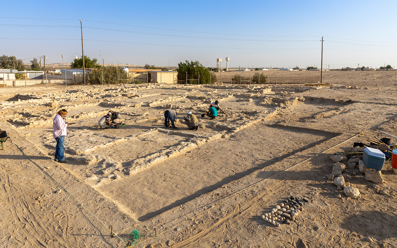
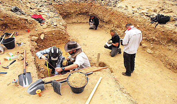
Accurate and detailed recording is central to the success of any walkover survey. All identified heritage features are recorded using standardized archaeological recording forms that capture descriptive, spatial, and interpretive information. Photographs are taken from multiple angles to document the appearance and condition of each feature. GPS coordinates are recorded for all sites and features, enabling their precise mapping using Geographic Information Systems (GIS). Where necessary, measured sketches and plans are produced to supplement photographic records. This comprehensive documentation ensures that all identified heritage assets are accurately captured and can be effectively communicated to stakeholders, heritage authorities, and planning bodies.
Walkover surveys are often complemented by remote sensing data and geophysical survey results to enhance the detection and interpretation of archaeological features. LiDAR data, aerial photographs, and satellite imagery are reviewed prior to fieldwork to identify potential features for targeted investigation during the walkover. Conversely, features identified during the walkover can inform the design and targeting of subsequent geophysical surveys such as magnetometry, ground-penetrating radar, and earth resistance surveys. This integrated approach maximizes the effectiveness of heritage investigations and ensures that both surface and subsurface archaeological remains are comprehensively assessed.
The findings of a walkover survey are a critical input into heritage impact assessments and environmental impact statements. Our survey reports provide a detailed account of all identified heritage assets, their significance, condition, and sensitivity to proposed development impacts. We assess the direct and indirect effects of development activities on identified sites and features, and recommend appropriate mitigation measures such as avoidance, preservation in situ, archaeological monitoring, or targeted excavation. Our reports are prepared in accordance with national heritage guidelines and planning regulations, ensuring that they meet the requirements of heritage authorities and planning bodies.
Our archaeological reconnaissance and walkover survey services support a wide range of development projects and land management programs. These include linear infrastructure projects such as roads, pipelines, and electricity transmission lines, as well as residential and commercial developments, renewable energy installations, forestry programs, and agricultural land improvement schemes. We work closely with developers, environmental consultants, planning authorities, and heritage bodies to ensure that archaeological walkover surveys are conducted efficiently, professionally, and in full compliance with applicable heritage legislation and best practice guidelines.