
Borehole geophysics is a powerful subsurface investigation technique that involves lowering specialized logging tools into boreholes to measure the physical properties of surrounding geological formations. Unlike surface geophysical methods, borehole geophysics provides direct, high-resolution measurements at depth, offering detailed information about lithology, stratigraphy, fracture distribution, formation strength, groundwater conditions, and borehole integrity. Our borehole geophysical logging services combine state-of-the-art equipment with expert data interpretation to deliver comprehensive subsurface characterization that supports geotechnical engineering, hydrogeological assessment, mineral exploration, and environmental site investigation.
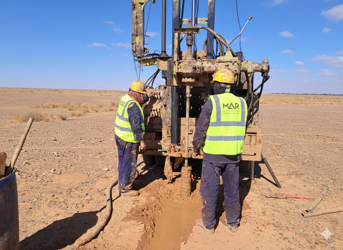
Borehole geophysics, also known as well logging or downhole geophysics, involves the deployment of electronic sensors and probes into drilled boreholes to continuously record the physical properties of subsurface formations as a function of depth. These measurements are recorded as geophysical logs that display variations in parameters such as natural radioactivity, electrical resistivity, acoustic velocity, electromagnetic properties, temperature, and formation density along the borehole profile. Unlike conventional borehole logging that relies on visual inspection of drill cuttings or core samples, geophysical logging provides objective, quantitative, and continuous data that is independent of drilling conditions, core recovery rates, or sample disturbance. This makes borehole geophysics an invaluable complement to geological logging and laboratory testing, filling data gaps and providing a more complete picture of subsurface conditions.
The natural gamma ray log measures the naturally occurring radioactive emissions from potassium, uranium, and thorium isotopes present in geological formations. Clay minerals and shales typically contain higher concentrations of these radioactive elements compared to clean sands, gravels, and carbonates, making gamma ray logging an excellent tool for identifying clay content and distinguishing between lithological units. Spectral gamma ray logging separates the contributions of individual radioactive elements, providing additional geological information about mineralogy, weathering, and depositional environment. Gamma ray logs can be recorded in both open and cased boreholes and in dry or fluid-filled conditions, making them one of the most versatile and widely used borehole geophysical tools. The data is essential for stratigraphic correlation between boreholes, aquifer identification, and understanding the geological framework of a site.
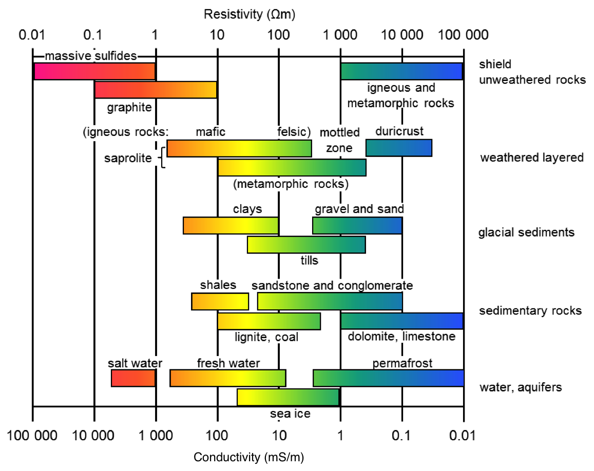
Electrical logging measures the resistivity or conductivity of formations surrounding the borehole, which is influenced by lithology, porosity, water content, water salinity, and clay content. Normal resistivity, single-point resistance, and focused resistivity tools provide measurements at various depths of investigation to characterize formation properties near and away from the borehole wall. High resistivity zones typically indicate clean, dry or hydrocarbon-bearing formations, compact rock, or mineral-rich zones, while low resistivity indicates water-saturated, clay-rich, or highly fractured formations. Spontaneous potential (SP) logging measures natural electrical potentials generated at the contact between different formation types and borehole fluid, helping identify permeable beds and estimate formation water salinity. Induction logging uses electromagnetic principles to measure formation conductivity, which is particularly effective in air-filled or freshwater-filled boreholes where conventional resistivity tools may have limitations.
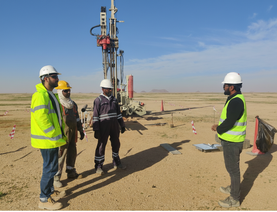
Acoustic or sonic logging measures the velocity of compressional and shear waves through formations adjacent to the borehole. The full waveform sonic log records travel times and amplitudes that are used to calculate dynamic elastic moduli including Young's modulus, shear modulus, bulk modulus, and Poisson's ratio. These parameters are critical for geotechnical design, rock mass characterization, and excavation planning. Sonic velocities correlate with formation strength, porosity, fracture density, and degree of weathering, providing continuous profiles of rock quality along the borehole. Acoustic televiewer (ATV) logging produces high-resolution, oriented images of the borehole wall by measuring the amplitude and travel time of reflected acoustic pulses. These images reveal fractures, bedding planes, foliation, vugs, and other structural features with precise orientation data, enabling detailed structural analysis and discontinuity characterization for rock engineering applications.
Optical televiewer (OTV) logging produces continuous, oriented, high-resolution photographic images of the borehole wall using a rotating or fish-eye camera system. These images provide a true-color visual record of lithological variations, structural features, fracture apertures, mineral veining, weathering zones, and borehole breakouts. When combined with acoustic televiewer data, OTV images enable comprehensive characterization of discontinuities including orientation, spacing, aperture, roughness, and infilling. Caliper logging measures the diameter and shape of the borehole along its length using mechanical arm or acoustic methods. Caliper data identifies zones of borehole enlargement caused by washouts, fracturing, or weak formations, as well as constrictions caused by swelling clays or formation squeeze. Borehole geometry data is essential for correcting other geophysical measurements, designing casing and screen installations, and assessing borehole stability.
Temperature logging measures the temperature of borehole fluid or formation temperature as a function of depth. Temperature profiles reveal the natural geothermal gradient, identify groundwater inflow and outflow zones, detect leakage through casing or grout seals, and locate thermal anomalies associated with fracture flow or chemical reactions. Fluid temperature and conductivity profiles help delineate different water-bearing zones and assess groundwater quality variations with depth. Flow logging, using spinner, heat pulse, or electromagnetic flowmeters, measures the velocity and direction of groundwater movement within the borehole under ambient or pumped conditions. Flow logs identify productive fractures and permeable zones contributing to borehole yield, quantify the relative contribution of individual zones to total flow, and detect cross-flow between aquifers. This information is essential for well design, aquifer characterization, and understanding groundwater flow pathways.
Raw borehole geophysical data undergoes comprehensive processing, quality control, and calibration to produce accurate, presentation-quality logs. Processing steps include depth alignment, environmental corrections, filtering, normalization, and calibration against known standards or core measurements. Multiple log types are displayed together as composite log plots that facilitate visual comparison and integrated interpretation. Cross-plots of different parameters help identify lithological clusters, mineral assemblages, and formation characteristics. Geophysical log data is correlated with geological core logging, laboratory test results, and hydrogeological observations to develop comprehensive subsurface models. All data is delivered in standard digital formats compatible with geological modeling and GIS software, along with printed composite log plots and detailed interpretation reports that present findings, conclusions, and recommendations.
Our borehole geophysical logging services support a diverse range of projects and disciplines. In geotechnical engineering, borehole geophysics provides continuous profiles of formation strength, fracture characteristics, and rock quality for foundation design, tunnel and slope stability assessment, and excavation planning. Hydrogeological investigations benefit from identification of aquifer zones, measurement of formation permeability indicators, and delineation of groundwater flow zones for well design and resource assessment. Environmental site investigations use borehole geophysics to map contamination pathways, identify confining layers, and characterize subsurface conditions for remediation design. Mining and mineral exploration projects utilize geophysical logging for ore body delineation, structural mapping, and geomechanical characterization. Construction projects employ borehole geophysics for pile integrity testing, grout verification, and foundation investigation. Our experienced geophysicists work closely with project teams to design logging programs tailored to specific objectives, ensuring that borehole geophysical data delivers maximum value for informed engineering and environmental decision-making.