
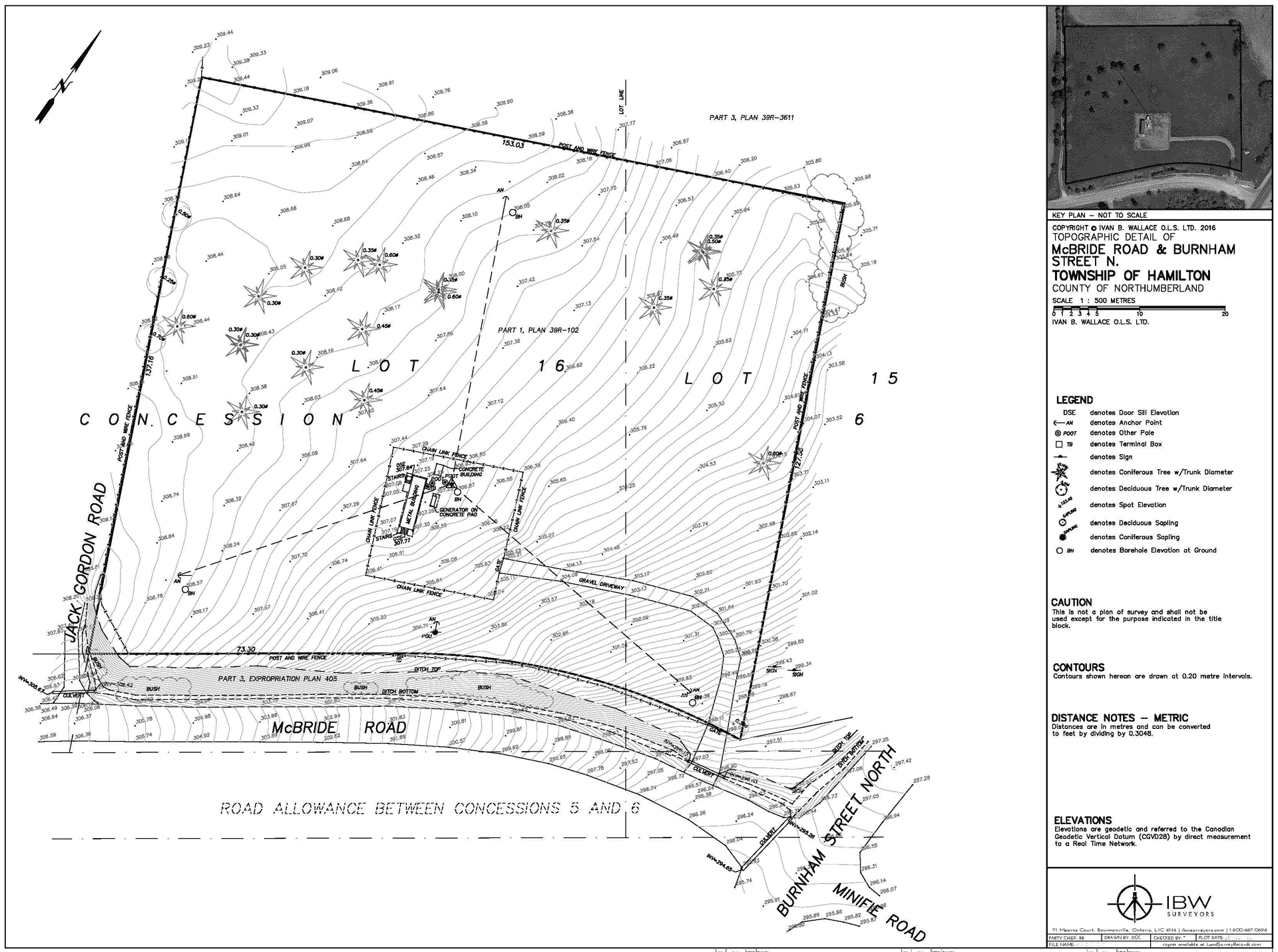
Land Survey Services: Topographic Survey
A topographic survey identifies every surface feature on a piece of property and shows every elevation and natural feature. In essence, it is a three-dimensional map of a three-dimensional space that displays all of the characteristics and enhancements, both natural and man-made. It displays their precise location, dimensions, height, and any elevation changes.

In-depth attention to detail is necessary when conducting surveys along roadways and major thoroughfares. Along with our standard survey considerations, there are frequently additional factors to take into account, such as traffic and personal safety, particularly when extensive time is needed on the road due to the need for additional detail, such as white lines, yellow lines, lane information, and central reservation information. Although customers occasionally request, with the agreement of property owners, information on building locations of trees and other essential detail when constructing huge 'above road' constructions, roads are often surveyed to the extents of the highway boundary.

Major Sectors of requirement a Topographic Survey
Topographic surveys, commonly referred to as contour surveys, may be needed for pipeline networks, civil engineering design & construction projects, and real estate transactions:
• New construction
• Remodeling projects to existing structures
• Utility design
• Road or bridge design or improvements
• Grading or drainage projects
To identify the current conditions and elevations of a place, many local governmental entities and business developers require topographic surveys. Topographic surveys are used by architects and engineers along with a boundary survey to develop precise and suitable designs based on current conditions.
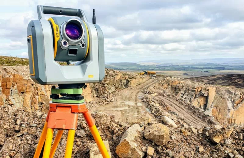
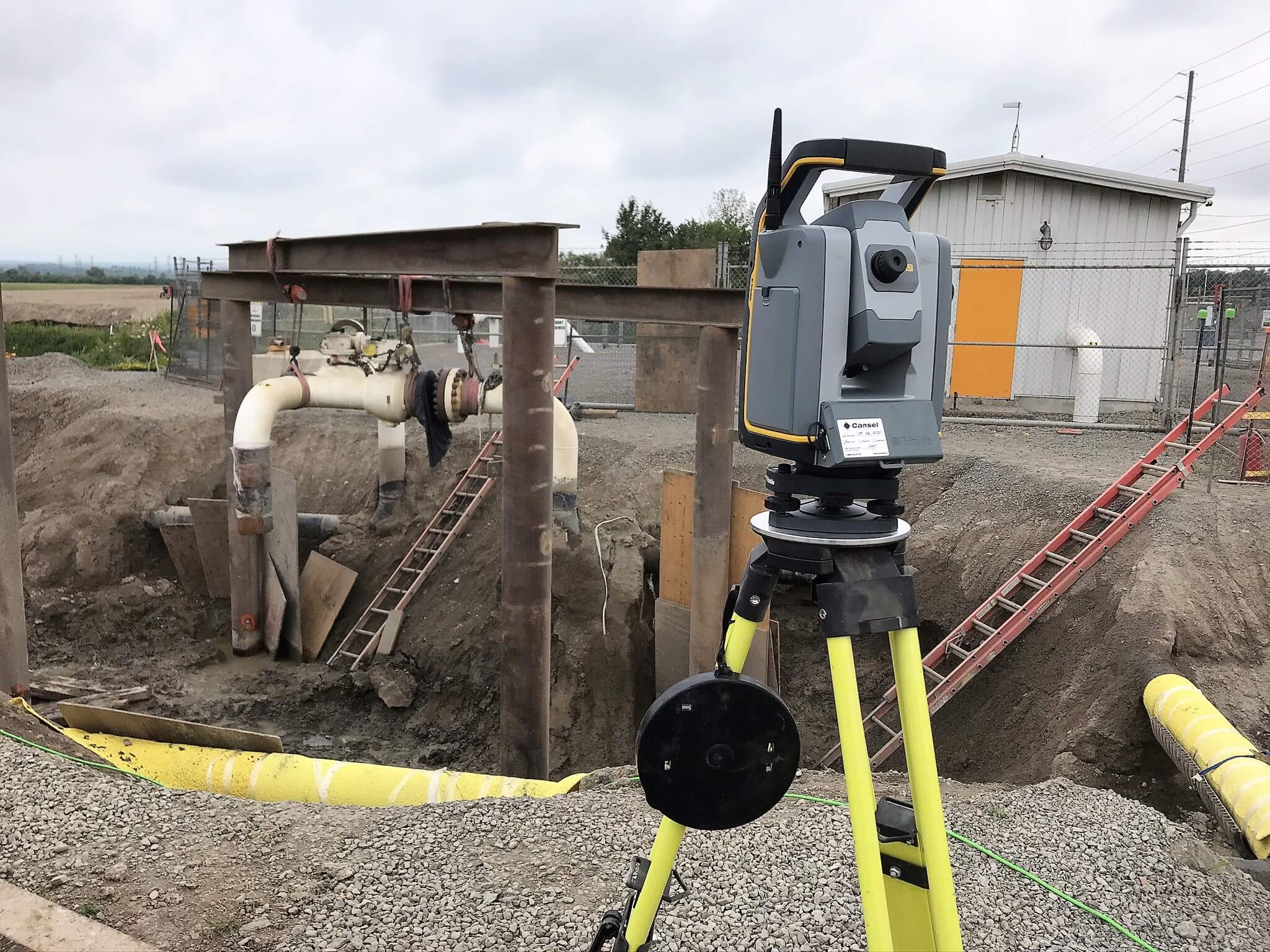
Data usage of Topographic Surveys Either an electronic EDM device or a GPS unit of surveying quality are used to take measurements for topographic surveys. The contour lines on a site map that represent the topographic survey's findings are improved by computer tools to offer interactive perspectives. Our CAD experts can use this information to estimate how planned upgrades would affect the topography. The natural landscape can serve as the inspiration for such changes, and clients can employ topographic surveys to assess and plan elements like drainage ditches, grading, or other features. Prior to a real estate sale or the start of a construction project, hiring a professional surveyor to undertake a topographic survey will guarantee that the land's attributes are appropriate for the use for which it is intended. A topographic survey can also give important information on how a site's past or present use has impacted the land, allowing for better planning for future use.