Geophysical Techniques: Ground Penetration Radar
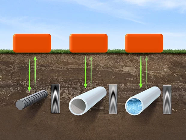
GPR works by delivering a very small energy pulse into a substance and measuring the power and the amount of time it takes for any reflected signals to return. A scan is defined as a sequence of pulses over a specific area. Every time an energy pulse enters a medium with differing electrical conductivity or dielectric permittivity than the material it left, reflections are created.
The contrast between the two materials' dielectric constants and conductivities determines the strength, or amplitude, of the reflection. As a result, a pulse going from dry to wet sand will result in a very strong reflection, but a pulse moving from dry to limestone will result in a reflection that is rather faint. The characteristics of the material that the pulse is going through affect the rate of signal attenuation, which varies greatly.
Applications & Use Cases
We specialize in this Geophysical Techniques that are offering valuable insights & data.
- Detection of voids, caves and mines
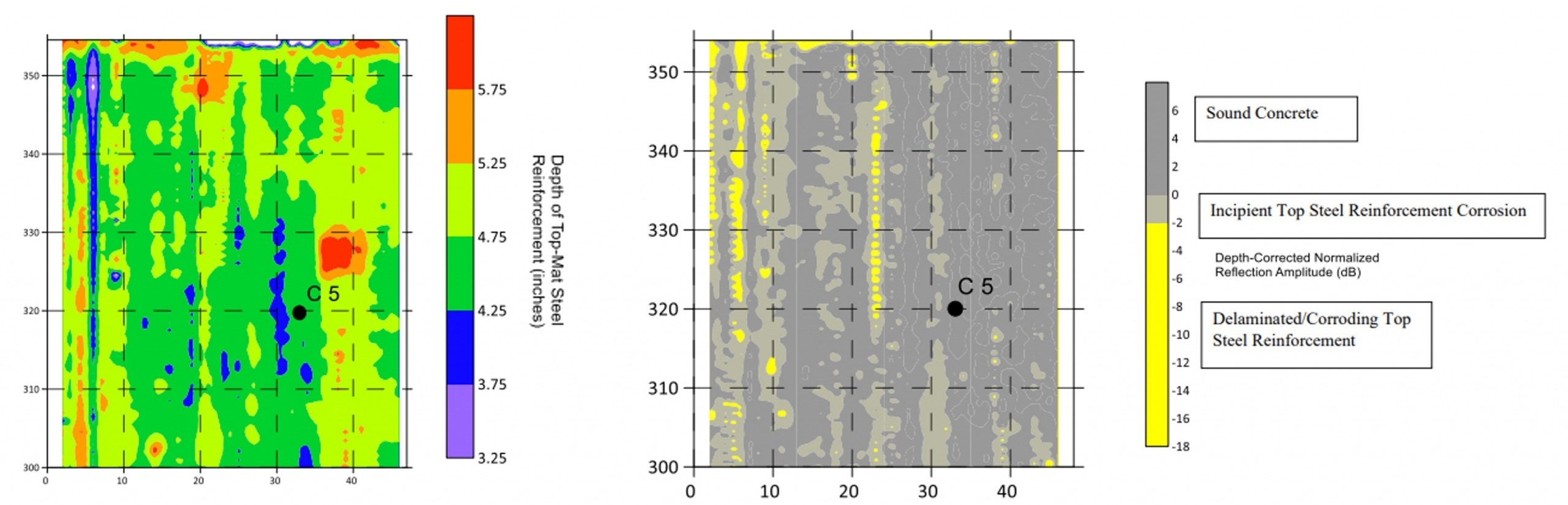
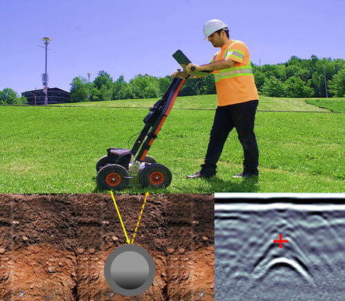
- Utility Locating and Concrete Inspection
- Road Inspection and Railway Evaluation
- Contamination and landfill extent mapping
Both the overall magnetic field and its vertical gradient are measured using conventional magnetic equipment. The gradient, which is the quantity recorded by magnetic locators used in land surveying, is particularly helpful for finding things buried at shallow depths. These surveys are frequently used to locate pipes, cables, metallic items, metal drums holding poisonous or contaminated waste, unexploded ordnance, and archaeological artefacts.