Aerial Survey Services: Aerial Photogrammetry
As geospatial and construction organizations understand how much simpler and more affordable it can be to complete surveying and mapping projects with drones, the use of unmanned aerial systems (UAS) is fast growing. Additionally, using drones eliminates the need for people to physically enter challenging and hazardous terrain.
Applications for UAV lidar and photogrammetry images are growing quickly. This is not surprising considering that renting an aircraft with photogrammetry equipment is relatively expensive compared to employing GPS-enabled UAVs for aerial surveys. Many organisations will have their own fleets of UAVs because they are commonly affordable, enabling quick surveys over huge geographical areas as needed.
Applications & Use Cases
We specialize in this Aerial Survey Services that are offering valuable insights & data.
- Infrastructure Planning & Development
- Disaster Response and Management
- Forestry & Fire Risk Management
- Urban Development & 3D City Modeling
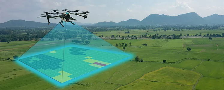
Drones with GPS, digital cameras, and sophisticated processors make it highly feasible to conduct surveys with an accuracy of between 1 and 2 cm.
This article examines this drone mapping technology in its entirety. We also quickly review the industries that stand to gain from the use of UAVs for photogrammetry and LiDAR mapping. Along with the suitable software, we also take a look at some of the top mapping drones now available.
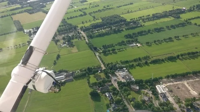
The camera is installed on the drone and is often aimed vertically towards the ground to produce 3D maps using aerial photogrammetry. The camera is placed horizontally on the UAV in order to use photogrammetry to build 3D models of statues or other structures.
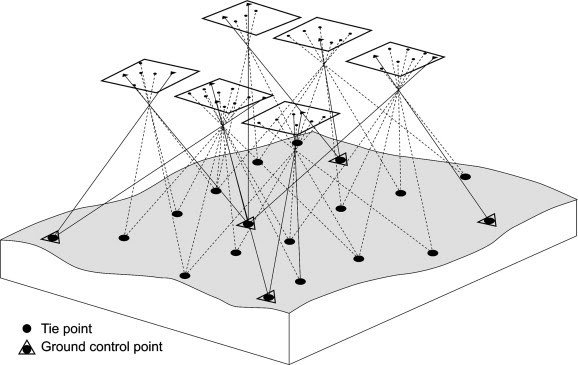
As the UAV flies along an autonomously designed flight path known as a waypoint, many overlapping photographs (80 to 90% overlap) of the ground or model are obtained. By using pilot navigation, it would be hard to correctly overlap images of an item or terrain by 80–90%. A UAV equipped with waypoint Navigation technology is necessary.