


While non-invasive survey methods provide invaluable insights into buried archaeological remains, there are times when physical excavation and subsurface investigation are necessary to fully understand, document, and preserve cultural heritage. Subsurface archaeological investigations involve the controlled and systematic excavation of archaeological deposits, features, and structures to reveal stratigraphic sequences, recover artifacts, obtain dating evidence, and record information that cannot be captured through remote sensing alone. Our services combine rigorous field methodology, detailed recording, and expert analysis to deliver comprehensive archaeological investigations that meet the highest professional and regulatory standards.
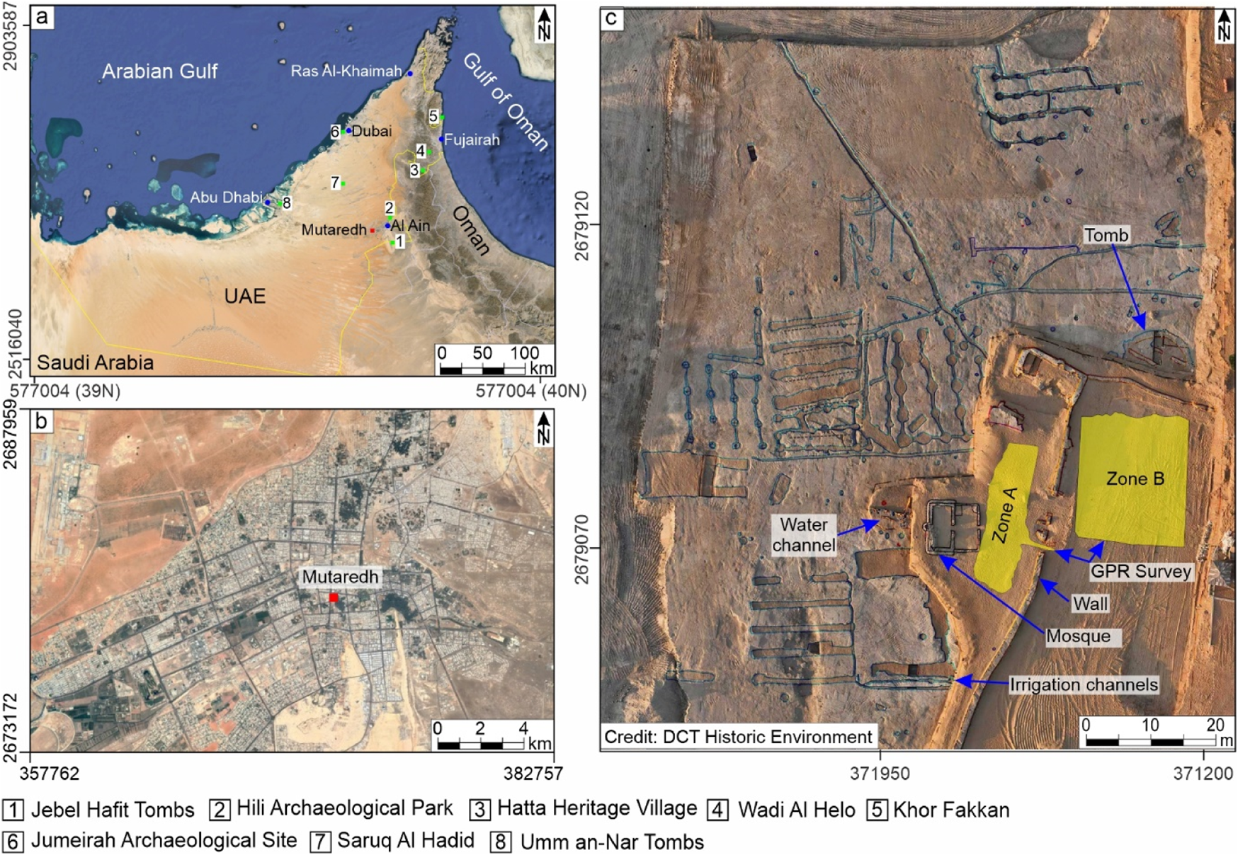
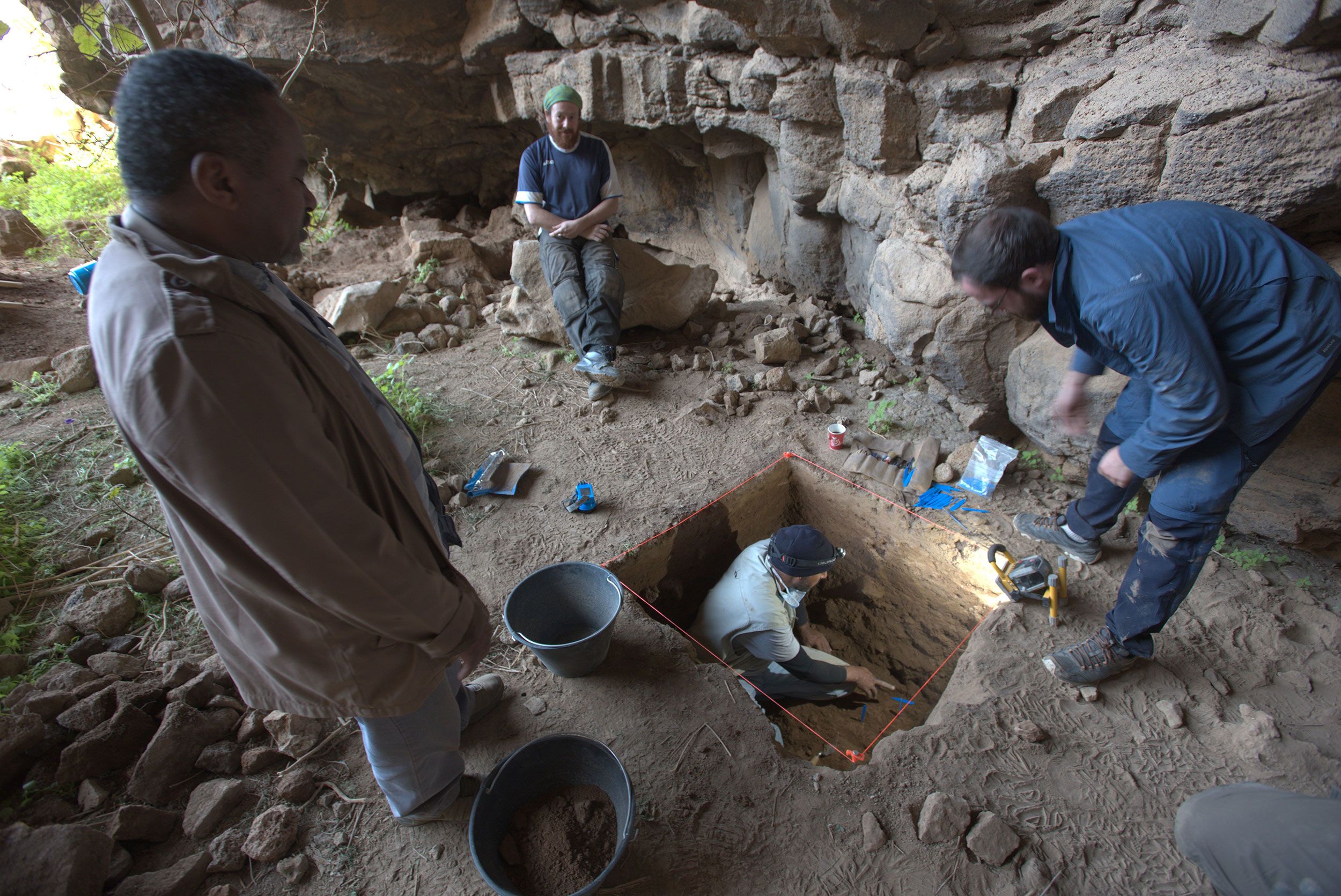
Archaeological excavation is the controlled, systematic removal of soil and sediment to expose, investigate, and record buried archaeological remains. Excavations may range from small-scale evaluations such as trial trenching and test pits to large-scale area excavations that uncover entire settlement sites or complex multi-period landscapes. Our excavations are conducted using the single-context recording method, which treats each stratigraphic unit as a discrete entity to be individually documented. This approach ensures that the complex relationships between layers, features, and structures are accurately captured, allowing for detailed chronological and functional interpretation of the archaeological evidence. All excavation work is carried out by qualified and experienced field archaeologists under the supervision of project directors and specialists.
Trial trenching is a widely used evaluation technique designed to assess the presence, extent, date, character, condition, and significance of archaeological remains within a development area. Trial trenches are typically excavated using mechanical excavators fitted with toothless ditching buckets to remove topsoil and modern overburden under archaeological supervision. Once archaeological deposits or features are encountered, excavation proceeds manually using trowels, shovels, and brushes to expose and investigate them in detail. The size, number, and location of trenches are determined based on the size of the site, results of previous desk-based assessments and geophysical surveys, and recommendations from heritage authorities. Trial trenching provides ground-truthed data that informs planning decisions, identifies areas requiring preservation or further investigation, and forms the basis for mitigation strategies.
Accurate recording and documentation are fundamental to archaeological excavation. Every stratigraphic layer, cut feature, deposit, and structural element is assigned a unique context number and recorded using standardized pro forma context sheets that capture detailed descriptive, spatial, and interpretive information. Plans and sections are drawn at appropriate scales using traditional hand-drawing methods or digital surveying equipment such as total stations and RTK GPS. Photographic recording is conducted systematically throughout the excavation to document features before, during, and after investigation. All recording data is georeferenced and integrated within a project GIS to create comprehensive spatial datasets that support analysis, interpretation, and long-term archiving of archaeological information.
Archaeological excavations yield a wide variety of material culture including pottery, stone tools, metal objects, animal bones, plant remains, building materials, and organic artifacts. All artifacts and ecofacts are systematically collected, recorded by context, and processed following established conservation and handling protocols. Finds are cleaned, marked, cataloged, and stored in appropriate conditions to prevent deterioration. Specialist analysis by experts in ceramics, lithics, metalwork, archaeobotany, zooarchaeology, and other sub-disciplines provides critical information about dating, function, economy, trade, technology, diet, and social practices. This material evidence complements stratigraphic and structural data to build a comprehensive understanding of past human activity and lifeways.
Environmental sampling is an integral component of modern archaeological excavation. We collect soil samples for flotation to recover charred plant remains, seeds, and small bone fragments that provide evidence of diet, agriculture, and environmental conditions. Bulk samples are taken for analysis of pollen, phytoliths, diatoms, and other micro-remains that reconstruct past landscapes and land use. Samples for radiocarbon dating, optically stimulated luminescence (OSL), and other chronometric techniques are collected to establish absolute dates for archaeological deposits. Soil micromorphology samples provide insights into site formation processes, activity areas, and human-environment interactions. This multi-proxy environmental and scientific approach extracts maximum information from the archaeological record and addresses research questions that go beyond artifact typology and structural interpretation.
Archaeological watching briefs, also known as archaeological monitoring, involve the presence of professional archaeologists during groundworks or construction activities to observe, investigate, and record any archaeological remains that are exposed. This mitigation approach is typically applied in areas where archaeological potential is uncertain or where impacts are limited to shallow depths. Archaeologists monitor topsoil stripping, foundation excavation, service trenching, and other ground disturbances, intervening to investigate and record features as they are encountered. Watching briefs provide a cost-effective mitigation solution that balances heritage protection with development needs, ensuring that unexpected archaeological discoveries are properly documented and preserved by record where preservation in situ is not feasible.
Following fieldwork, comprehensive post-excavation analysis is conducted to interpret the archaeological evidence and prepare detailed reports. Stratigraphic sequences are analyzed using Harris Matrix diagrams to establish phasing and chronology. Artifact assemblages are quantified, characterized, and compared with regional datasets. Environmental and scientific data are integrated to reconstruct past environments, economies, and activities. Our reports present the results in accordance with national and international reporting standards, including methodology, results, discussion, conclusions, and recommendations for archive deposition and dissemination. Digital and physical archives are prepared to professional standards and deposited with appropriate repositories for long-term preservation and public access.
Our subsurface archaeological investigation and mapping services support development projects across residential, commercial, industrial, infrastructure, and energy sectors. We conduct archaeological evaluations, mitigation excavations, watching briefs, and research excavations in compliance with planning conditions and heritage legislation. Our team works collaboratively with developers, contractors, planning authorities, and heritage bodies to deliver archaeological fieldwork programs that are professionally executed, cost-effective, and fully compliant with regulatory requirements. We ensure that archaeological heritage is appropriately investigated, recorded, and preserved, contributing to our collective understanding of the past while enabling sustainable development in the present.