
Water is one of the most critical natural resources, and understanding its behavior across the landscape is essential for sustainable development, environmental protection, and disaster risk reduction. Our hydrological data collection and analysis services are designed to deliver precise, reliable, and comprehensive data that supports a broad range of engineering, environmental, and planning applications.
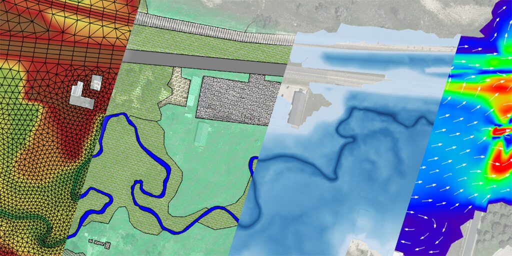
Hydrological data collection involves the systematic measurement and recording of water-related parameters across surface water and groundwater systems. Our field teams are equipped with advanced instrumentation to monitor and measure a wide range of variables across rivers, streams, lakes, wetlands, and aquifer systems. Data is collected through a combination of manual field surveys, automated telemetry-based monitoring stations, and remote sensing platforms, ensuring that spatial and temporal variations across the study area are accurately captured.
Our monitoring programs cover a comprehensive range of hydrological parameters that are essential for understanding the full water cycle. These include streamflow velocity and discharge, river and lake water levels, rainfall and evapotranspiration rates, sediment load and transport, water temperature and quality indicators, and groundwater depth and pressure heads. Precipitation measurement is a particular focus, as it is the primary driver of runoff generation, infiltration, and groundwater recharge. We deploy rain gauge networks and integrate satellite-based precipitation datasets to build a complete picture of rainfall distribution across watersheds.
Streamflow measurement is one of the most critical components of hydrological data collection. We conduct detailed stream gauging using current meters, Acoustic Doppler Current Profilers (ADCP), and electromagnetic flow meters to accurately determine river discharge. Stage-discharge relationships, commonly known as rating curves, are developed and calibrated for each gauging station to allow continuous flow estimation from water level records. This information is essential for flood frequency analysis, low flow assessments, and the design of hydraulic structures such as bridges, culverts, weirs, and dams.
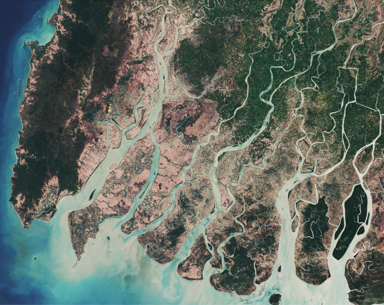
Groundwater monitoring is a vital aspect of our hydrological services. We install and maintain networks of observation boreholes and piezometers to track groundwater level fluctuations over time. This data enables us to assess aquifer storage capacity, recharge and discharge rates, and the seasonal response of groundwater systems to rainfall and abstraction. Understanding the interaction between surface water and groundwater is particularly important in areas where rivers and aquifers are hydraulically connected, as this relationship directly influences water availability and ecosystem health.
Once raw data is collected, it undergoes comprehensive quality control, verification, and statistical analysis. We apply a range of hydrological modelling techniques including rainfall-runoff modelling, flood frequency analysis, water balance modelling, and long-term trend analysis. These analytical methods help simulate catchment responses to storm events, estimate return periods of extreme floods, quantify available water resources, and identify changes in hydrological regimes driven by climate variability or land use change.
Our hydrological data collection and analysis services support a wide range of projects and sectors. These include the planning and design of reservoirs, irrigation schemes, water supply systems, and hydropower projects. We also provide hydrological support for environmental impact assessments, flood hazard mapping, wetland conservation studies, ecological flow determinations, and disaster risk management programs. Our data forms the scientific foundation for informed decision-making in both public and private sector water resource projects.