
Geophysical prospection is a non-invasive and highly effective method of investigating subsurface archaeological remains without the need for excavation. By measuring variations in physical properties of the ground such as magnetic susceptibility, electrical resistivity, and radar wave reflection, geophysical surveys can detect and map buried archaeological features, structures, and deposits with remarkable precision. Our geophysical prospection services utilize state-of-the-art equipment and expert data interpretation to provide a detailed picture of what lies beneath the surface, supporting informed heritage management, planning decisions, and targeted archaeological investigations.
Geophysical prospection in archaeology refers to the application of geophysical measurement techniques to detect and characterize subsurface archaeological features and deposits. Unlike excavation, geophysical surveys are entirely non-destructive, allowing large areas to be investigated rapidly and cost-effectively while preserving the integrity of buried heritage assets. The technique works by detecting contrasts in physical properties between archaeological features such as walls, ditches, pits, hearths, and floors and the surrounding natural soils and geology. Different geophysical methods are sensitive to different physical properties and are selected based on site conditions, target feature types, and project objectives.
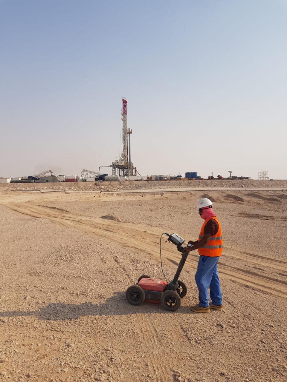
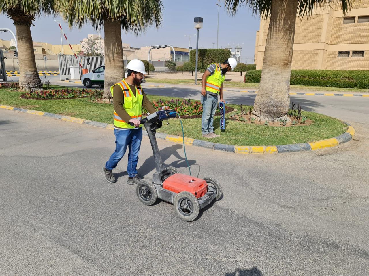
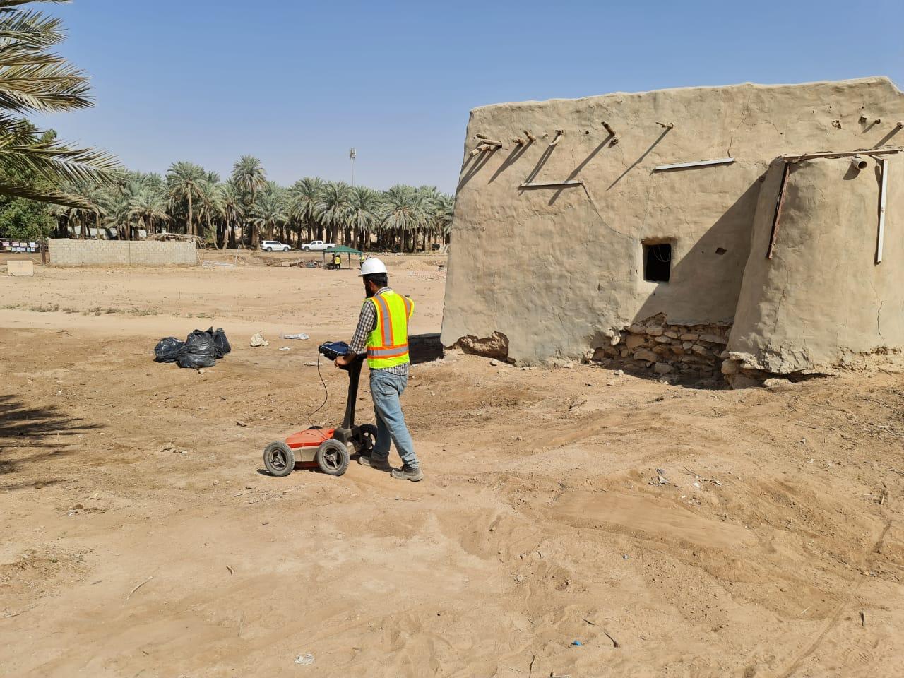
Ground Penetrating Radar (GPR) is one of the most versatile and widely used geophysical techniques in archaeological investigation. GPR works by transmitting high-frequency electromagnetic pulses into the ground and recording the reflections that occur at interfaces between materials with different dielectric properties. This produces detailed subsurface profiles that reveal the depth, shape, and extent of buried features and stratigraphic layers. GPR is particularly effective for detecting masonry walls, floors, voids, graves, and buried surfaces in urban and rural environments. It provides three-dimensional subsurface imaging capability, allowing the reconstruction of complex buried structures and landscapes. GPR surveys can be conducted rapidly across large areas using motorized or hand-pushed antenna systems, making it suitable for both open landscapes and confined indoor spaces such as churches and historic buildings.
Magnetometry is one of the fastest and most efficient geophysical techniques available for large-scale archaeological prospection. It measures variations in the Earth's magnetic field caused by differences in the magnetic properties of soils, sediments, and archaeological features. Features such as pits, ditches, hearths, kilns, and burnt deposits typically produce strong magnetic anomalies because they contain magnetically enhanced materials resulting from heating or biological activity. Stone walls and floors may produce negative or contrasting anomalies against magnetically enhanced topsoils. Modern fluxgate gradiometer systems allow large areas to be surveyed quickly, often covering several hectares per day. The resulting data is processed and visualized as greyscale or color-coded plots that reveal the plan of buried archaeological features with exceptional clarity, enabling the identification of settlement patterns, field systems, enclosures, and individual structural elements across extensive survey areas.
Earth resistance surveys measure the resistance of the ground to the passage of an electrical current, which varies depending on soil moisture content, compaction, and the presence of archaeological features. Buried walls and compacted surfaces typically show high resistance because they retain less moisture than surrounding soils, while ditches and pits filled with loose, organic-rich material tend to show low resistance. Resistivity tomography, a more advanced form of the technique, produces two-dimensional or three-dimensional subsurface images that reveal the depth and extent of buried features and geological layers. Earth resistance surveys are particularly effective on sites where magnetometry may be less sensitive, such as areas with low magnetic contrast or recent burning, and complement magnetometry and GPR to provide a more complete picture of subsurface archaeological remains.
The raw data collected during geophysical surveys requires careful processing and expert interpretation to extract meaningful archaeological information. We apply a range of processing techniques including de-spiking, drift correction, interpolation, filtering, and georeferencing to produce high-quality visualizations of the subsurface data. Processed datasets are integrated within a GIS environment and overlaid with topographic data, historical maps, aerial photographs, and LiDAR datasets to enhance interpretation. Our experienced archaeologists and geophysicists analyze the resulting anomaly plots and profiles to distinguish archaeological features from geological and modern interference, classify feature types, assess their significance, and produce detailed interpretive maps that form the basis of our survey reports.
No single geophysical method can detect all types of archaeological features in all ground conditions. For this reason, we advocate and implement an integrated multi-method approach that combines two or more complementary geophysical techniques to maximize the detection and characterization of subsurface remains. The selection of methods is guided by site-specific factors including soil type, geology, land use, target feature types, survey area size, and budget. Combining magnetometry, GPR, and resistivity surveys on the same site provides overlapping and complementary datasets that significantly improve confidence in interpretations, reduce ambiguity, and reveal a more complete picture of buried archaeological landscapes than any single method could achieve alone.
Our geophysical prospection services are applied across a broad range of archaeological and heritage projects. We conduct pre-development geophysical surveys to assess archaeological potential and inform planning decisions for residential, commercial, infrastructure, and renewable energy developments. We carry out research-oriented surveys for academic institutions, heritage organizations, and government bodies seeking to investigate and document buried archaeological landscapes. Our services also support the management and conservation of scheduled monuments, historic parks and gardens, battlefield sites, and World Heritage Sites. Whether working on open rural landscapes, urban historic cores, coastal environments, or the interiors of historic buildings, our team delivers geophysical survey solutions that are technically rigorous, professionally executed, and fully compliant with applicable heritage standards and guidelines.