


Surface water and hydraulic studies are essential for understanding the movement, behavior, and interaction of water in rivers, streams, channels, lakes, and floodplains. These studies form the technical foundation for flood risk assessment, drainage design, water resource development, and the planning of hydraulic infrastructure. Our services combine field investigation, hydrological analysis, and advanced hydraulic modeling to provide accurate, reliable insights that support safe and sustainable water management solutions.
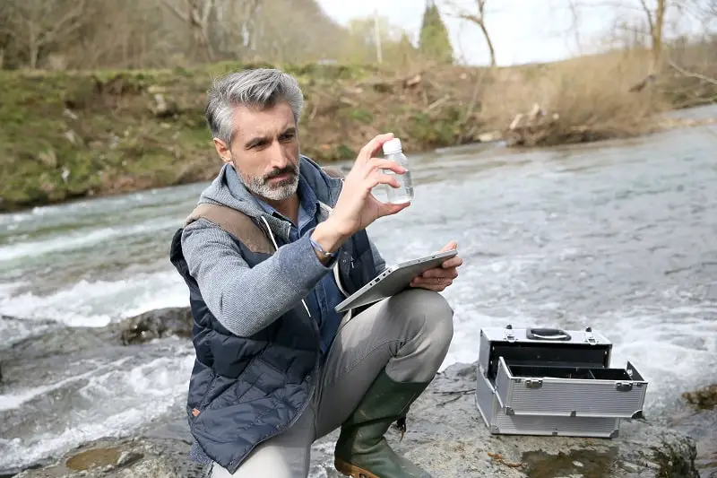
Surface water refers to all water that flows or is stored on the Earth's surface, including rivers, streams, lakes, wetlands, and reservoirs. Understanding how surface water moves across the landscape, how it responds to rainfall events, and how it interacts with the terrain is fundamental to managing flood risks, protecting infrastructure, and ensuring water availability. Our surface water studies assess catchment characteristics, drainage patterns, flow velocities, water levels, and sediment transport processes to provide a complete picture of the hydrological and hydraulic regime of any area.
Hydraulic modeling is a powerful tool that allows us to simulate water flow through rivers, channels, culverts, bridges, and floodplains under various scenarios. Using industry-standard software such as HEC-RAS, MIKE, InfoWorks, and SWMM, we develop one-dimensional (1D), two-dimensional (2D), and coupled 1D-2D hydraulic models that accurately represent real-world flow conditions. These models help predict flood extents, water depths, flow velocities, and inundation durations for different return period events, enabling informed decision-making for flood risk management, urban planning, and infrastructure design.
River hydraulics involves the study of water flow in natural and engineered channels. We analyze channel geometry, cross-sectional profiles, bed slopes, roughness coefficients, and flow resistance to determine how water will behave under different flow conditions. Our studies include the assessment of channel capacity, bank stability, scour and erosion potential, and the hydraulic performance of existing or proposed structures such as bridges, weirs, sluice gates, and culverts. This information is critical for infrastructure design, river restoration projects, and ensuring the safe passage of flood flows.
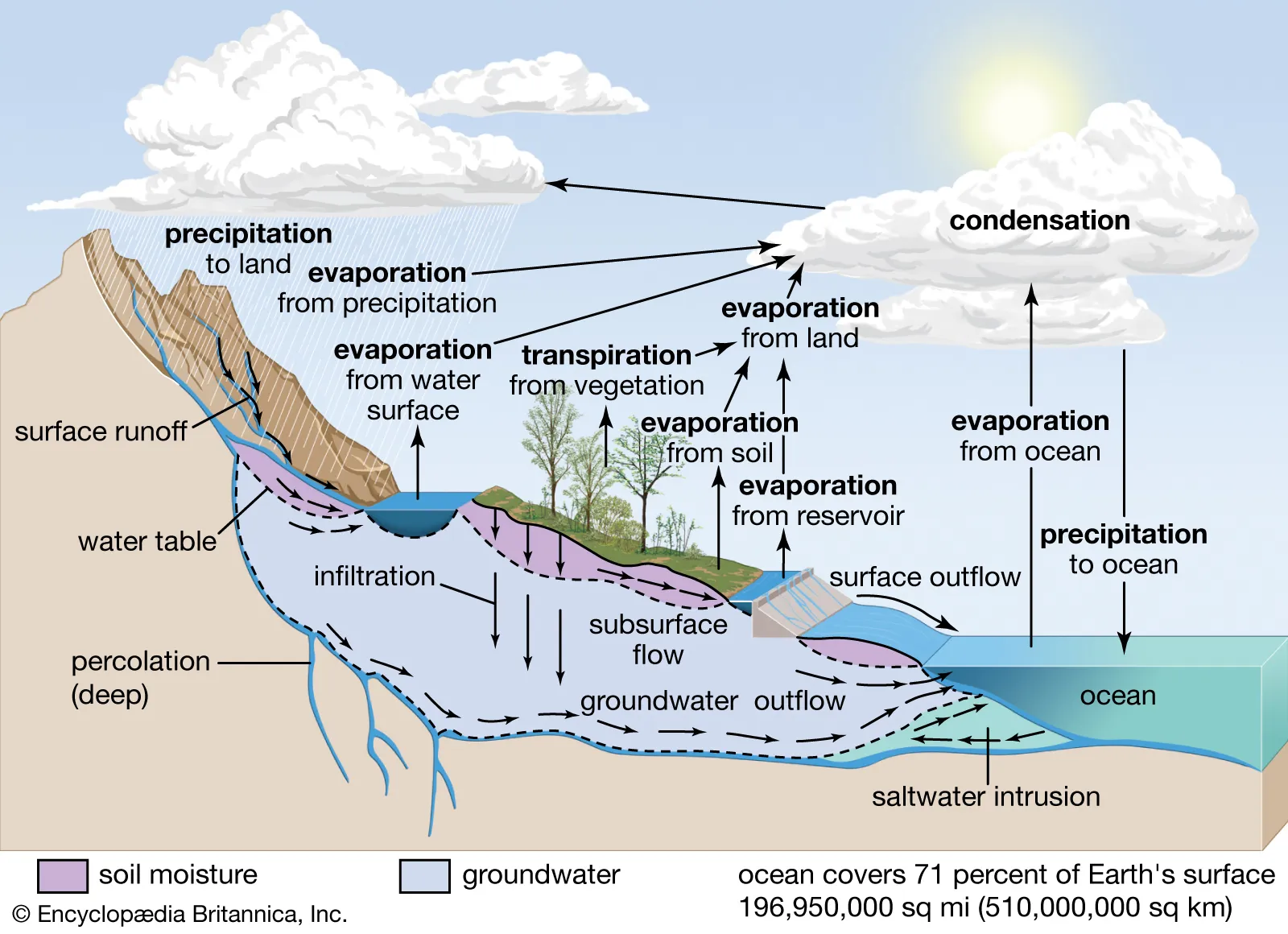
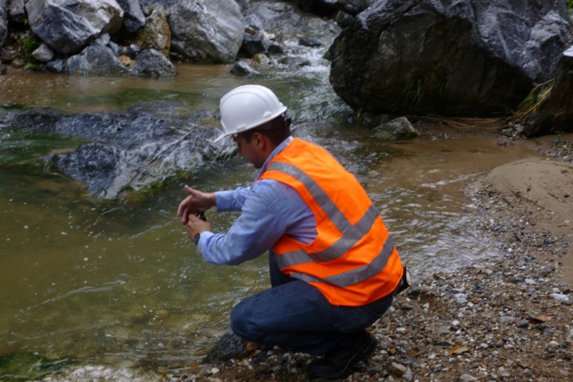
Flood risk assessment is a comprehensive process that evaluates the likelihood and consequences of flooding in a given area. We combine hydrological analysis with hydraulic modeling to delineate flood extents for various return periods such as 1-in-10, 1-in-50, 1-in-100, and 1-in-200 year events. Our flood maps show areas at risk of inundation, maximum water depths, flow velocities, and hazard classifications. These outputs are essential for land use planning, development control, emergency preparedness, insurance assessments, and the design of flood mitigation measures such as levees, floodwalls, detention basins, and channel improvements.
Urbanization significantly alters natural drainage patterns by increasing impervious surfaces, reducing infiltration, and accelerating runoff. Our urban drainage studies assess the capacity of existing drainage networks, identify areas prone to surface water flooding, and design sustainable drainage systems (SuDS) to manage stormwater effectively. We model pipe networks, open channels, culverts, manholes, and surface flow paths to ensure that drainage infrastructure can safely convey design storm events without causing property flooding or environmental damage. Our solutions balance engineering efficiency with sustainability and climate resilience.
Dam safety is a critical concern, and understanding the potential consequences of a dam failure or overtopping event is essential for public safety and regulatory compliance. We conduct dam break analyses to simulate the sudden release of water from reservoirs, modeling the resulting flood wave propagation, inundation extents, arrival times, and peak water levels downstream. These studies inform emergency action plans, evacuation procedures, and the design of spillways and other safety features to minimize risk to life and property.
Our surface water and hydraulic studies support a wide range of applications across multiple sectors. In infrastructure development, we provide hydraulic assessments for the design of roads, railways, bridges, and drainage systems. For environmental and regulatory compliance, we conduct floodplain assessments, environmental flow studies, and wetland hydrology evaluations. In water resources engineering, our studies underpin the design of reservoirs, irrigation canals, and hydropower schemes. We also support disaster risk reduction programs, urban master planning, climate adaptation strategies, and river basin management initiatives.